The Digital Paris Project
Interractive Maps and Digital Reconstruction
Latest News
New Project To Begin
HIST 336 “Ancien Regime and Revolution” will explore early seventeenth-century urbanization in terms of the Place des Vosges and the Place Dauphine.
Flash Coming Soon
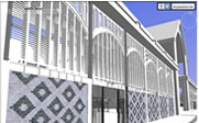
During the upcomming Fall 2011 semester students will begin adding flash componets to the Les Halles de Paris 3D model.
Current Projects

This project will use Emile Zola’s The Belly of Paris to digitaly explore Les Halles, the twelve iron, glass, and brick food markets designed by Victor Baltard and built during the 1850s and 1860s in central Paris.

Interactive Maps of Historic Paris
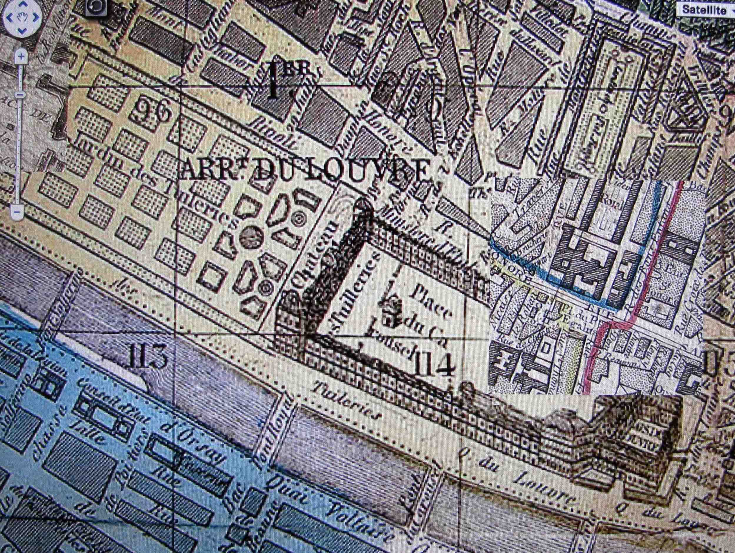
Hosted by UCLA’s Hypercities Project, historic maps of paris, provided by Geographicus, have been geo-referenced using Google Earth. Together, they provide an interactive, hypermedia environment designed for exploring the historical layers of the city's evolving city-scapes.